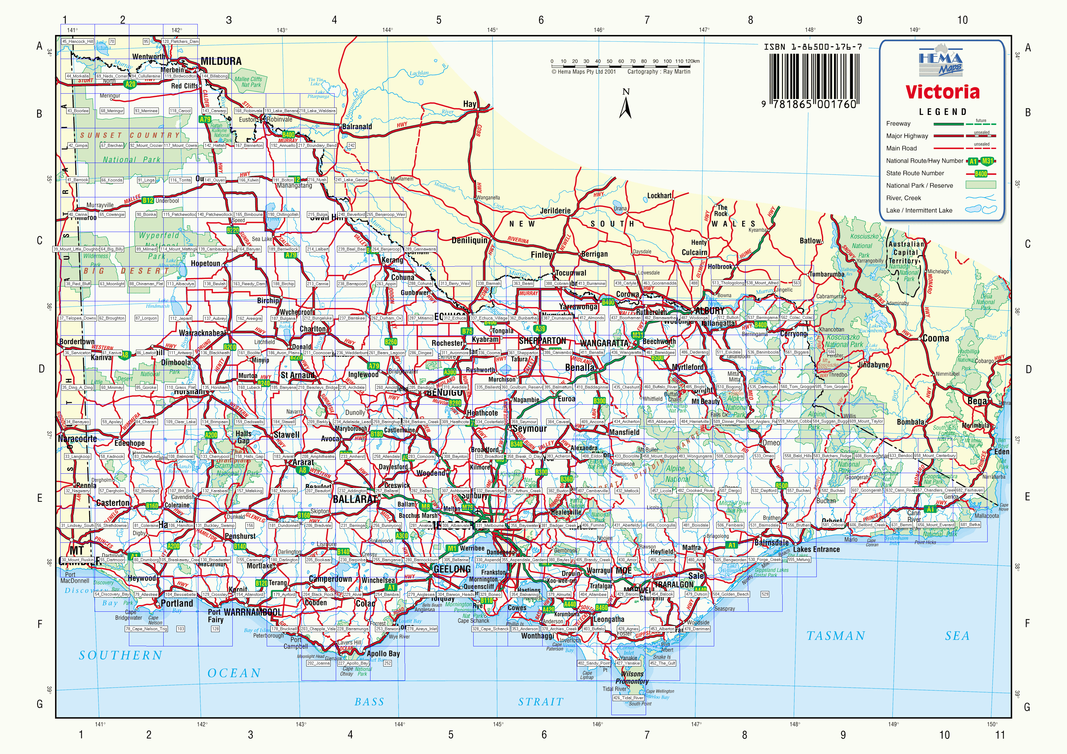
These maps are ozf2 format, and represent approx. 1:50k scale in area.
Download individual maps here or the complete set in a single zip file here (1.6Gb)